Roulette Travel Hike Review
Mount Colden rises to 4,715 feet above sea level – making it the 11th highest peak in the Adirondack State Park. Its rated as one of the more difficult hikes in the region, and definitely one of the hardest hikes that I have completed to date. The Avalanche Pass is awe inspiring as you cross through the debris of years past, and then head across Lake Colden’s floating trail before beginning the ascent. For a more complete visual, check out the full video review below.
There were several times during the ascent where I had to pause for a moment to consider how I would be getting over/around/through some aspect of the trail. By the end, I was muddy, sore, hungry and using my headlight, as I ran out of daylight with about 3 miles left. I ordered a pizza and also stopped for a sandwich on the way home at the Big Slide Brewery (great food), and then continued to also eat my breakfast for the next morning once I got home. Then I made a bunch of old man noises as I got myself into bed. This one was a workout.
With everything from boulder fields, stream crossings, steep slides, ladders and log bridges – you have to work to get to the incredible views from the summit – but its well worth it. And don’t forget to look down while you’re on the summit – as its home to some incredibly rare (and fragile) alpine tundra.
To this day, its still one of my favorite hikes in the Adirondacks, as well as out of all the hikes I’ve done. Read the review below, then head out to see for yourself!
Hike Details
Distance: Approx. 14 miles
Elevation Gain: 3,200 feet

Difficulty: 7/10 (with 1 being a walk in the park, 10 being a hike that would almost require using ropes). Particularly challenging aspects included:
- Deceptive total elevation gain – traversing Avalanche Lake, you repeatedly climb up and down large boulders.
- Water – much of the trail is close to water. After heavy rains, parts of trail can be submerged
- Slick rock slides on ascent – even dry, these can be challenging, and there’s often some water flow as well.
- Trail Sign Blockage – after Lake Colden, it is easy to miss the marker for the ascent to Colden
Please note, this review is in regards to late spring through early fall. Mount Colden, and much of the Adirondacks have some fierce winter weather. Here is a recount of what a winter summit is like.
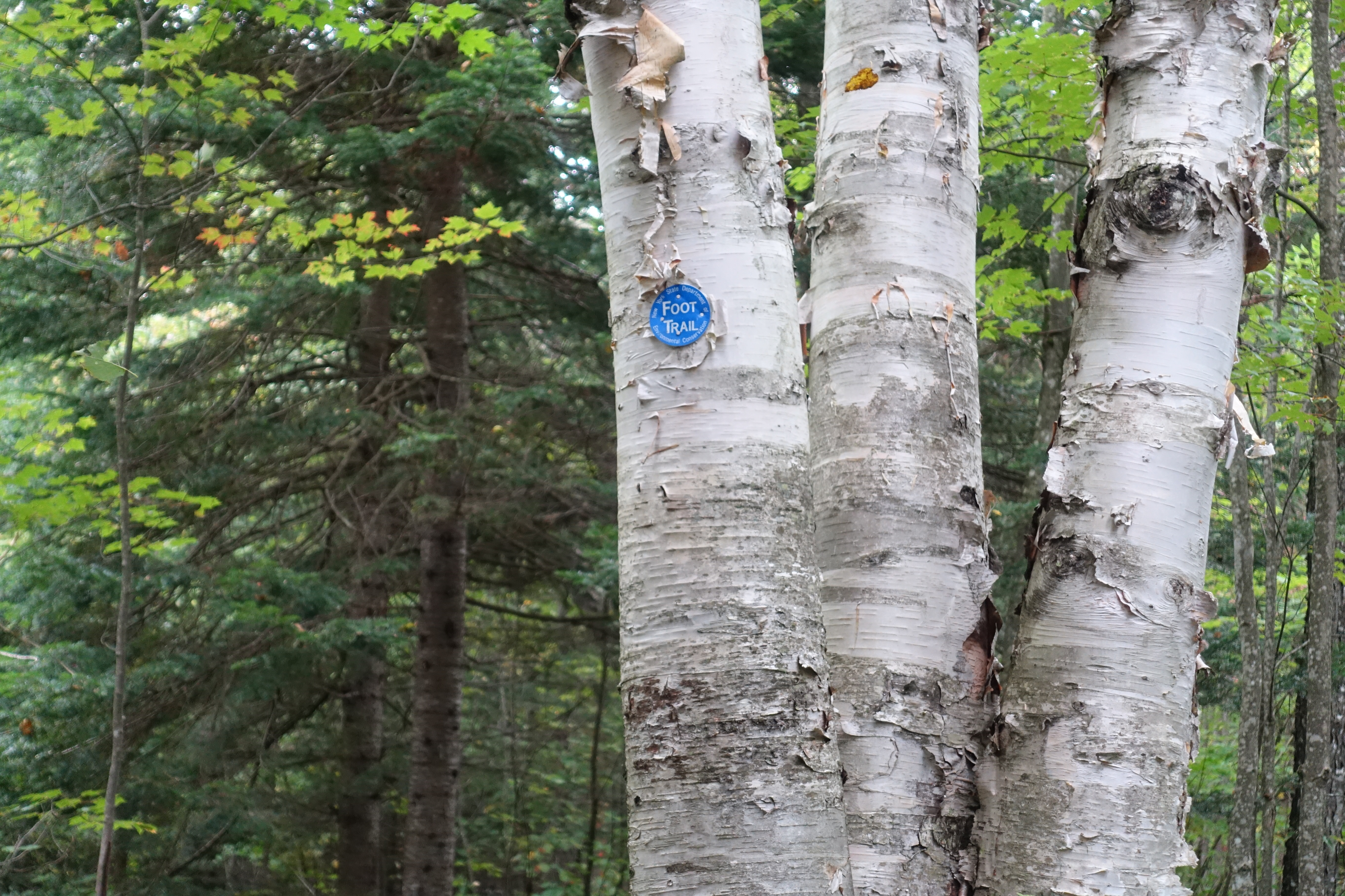
Trail Markers to Follow: Blue to Marcy Dam, Yellow to Avalanche Lake, Red to Colden Summit, Blue Return from Marcy Dam.
Crowd Factor: as a popular Adirondack High Peak, expect moderately crowded trails on weekends between Memorial Day and late Fall
Trailhead Location: Park at the High Peaks Information Center near Heart Lake. The address is ‘1002 Adirondack Loj Road, Lake Placid, NY 12946‘. There is a parking fee, which I recall is $10-12.
Recommended Gear:
- The 10 Essentials
- Light Jacket
- Water Filter (if you intend to save weight and refill along trail)
- Extra socks (stream crossings)
- Bug Spray and/or netting during spring and early summer
Hike Breakdown
Below I’ve broken down the hike into its main sections, with some photos to help give you a better idea of what you are getting into by hiking to Mount Colden’s Summit.
Trailhead to Marcy Dam

If you are getting an early start to the hike, note that the beginning of the trail does pass within earshot of campsites, so be sure to keep any noise minimal before 8 am. You’ll follow the blue markers from the trailhead towards the back of the visitor center lot. I don’t recall exactly where in the parking lot the trail began – but if you’re reading this, I’m confident you can figure out that part.
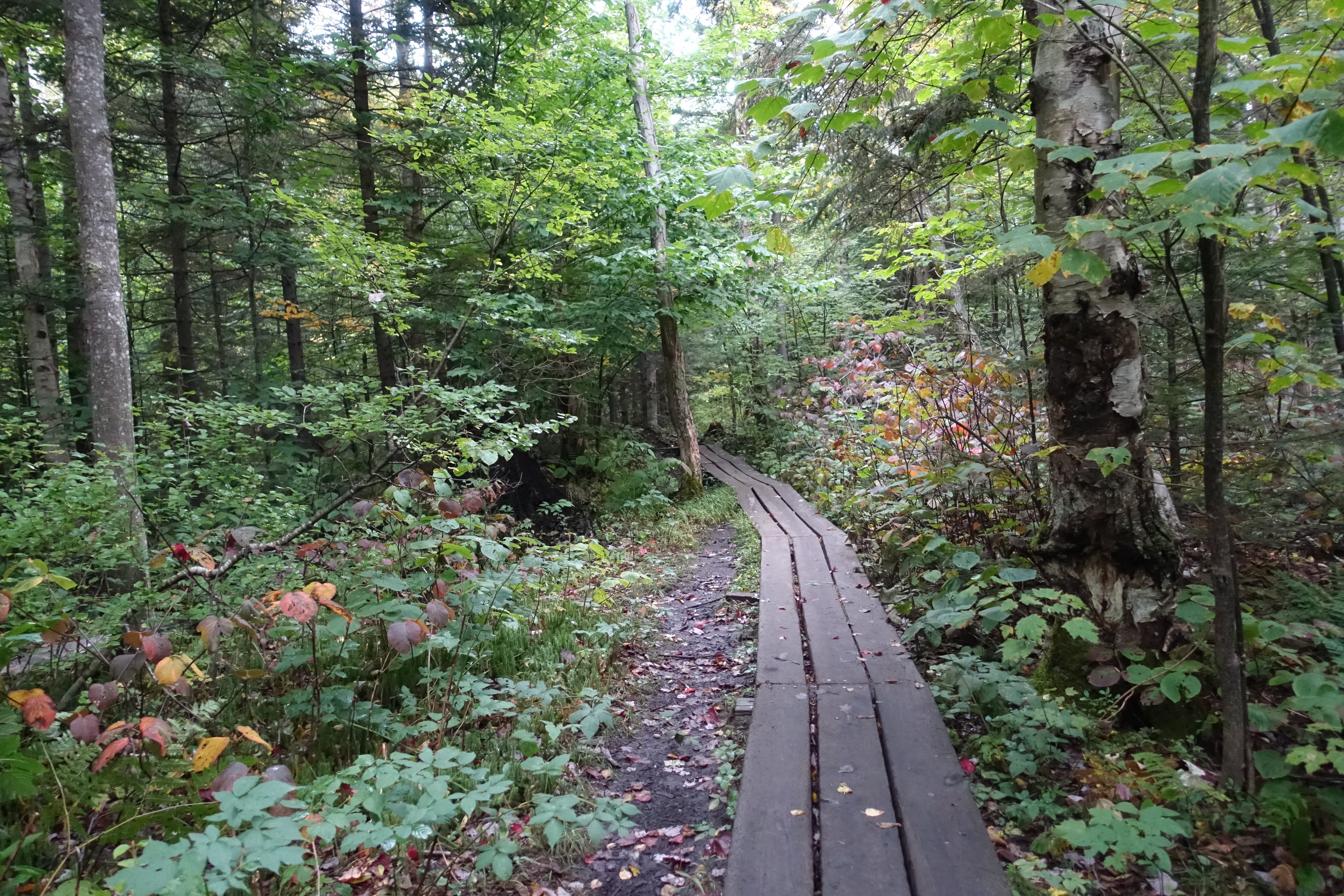

For the most part, the first 2.5 miles of the trail to Marcy Dam is serene, easygoing, and a nice way to get yourself a little warmed up and limber for what’s to come. You will only pick up about 200 feet in elevation during this portion of the hike. There’s some wooden pathways laid out through the muddier areas, and to my recollection, a minor stream crossing as well.

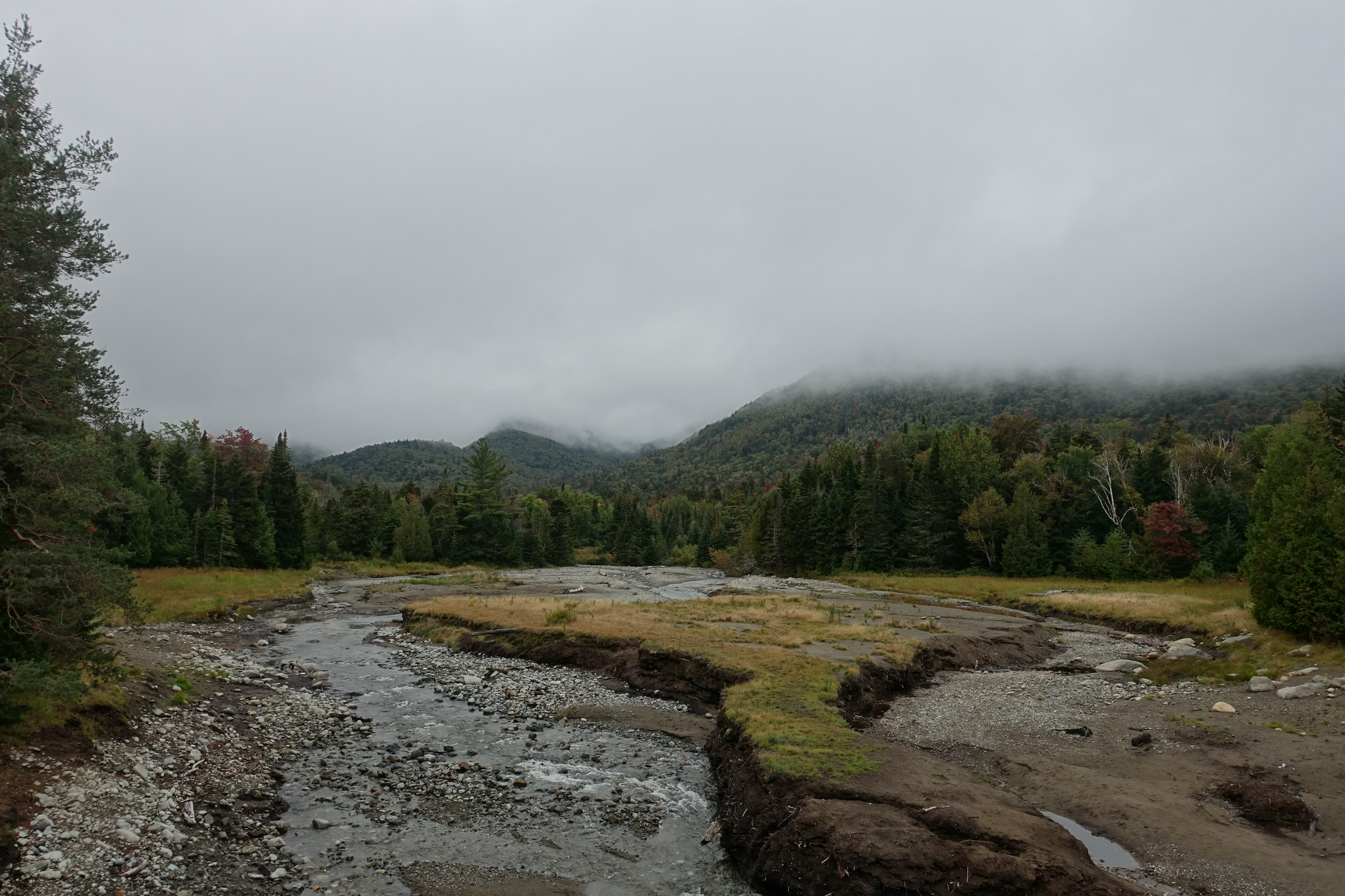
After right about 2.5 miles, you’ll come up to the Marcy Dam and the large open field that it looks out upon. Prior to Hurricane Irene in 2011, the Dam was actually functional holding back Marcy Pond. Now, the stream flows freely, and the Marcy Dam area is home to a number of primitive campsites if you’re looking to make a multiple day trip. Be aware that if you are camping at either the lean-to’s or the tent campsites between April and November, you’re required to carry a bear canister for safely stowing food.
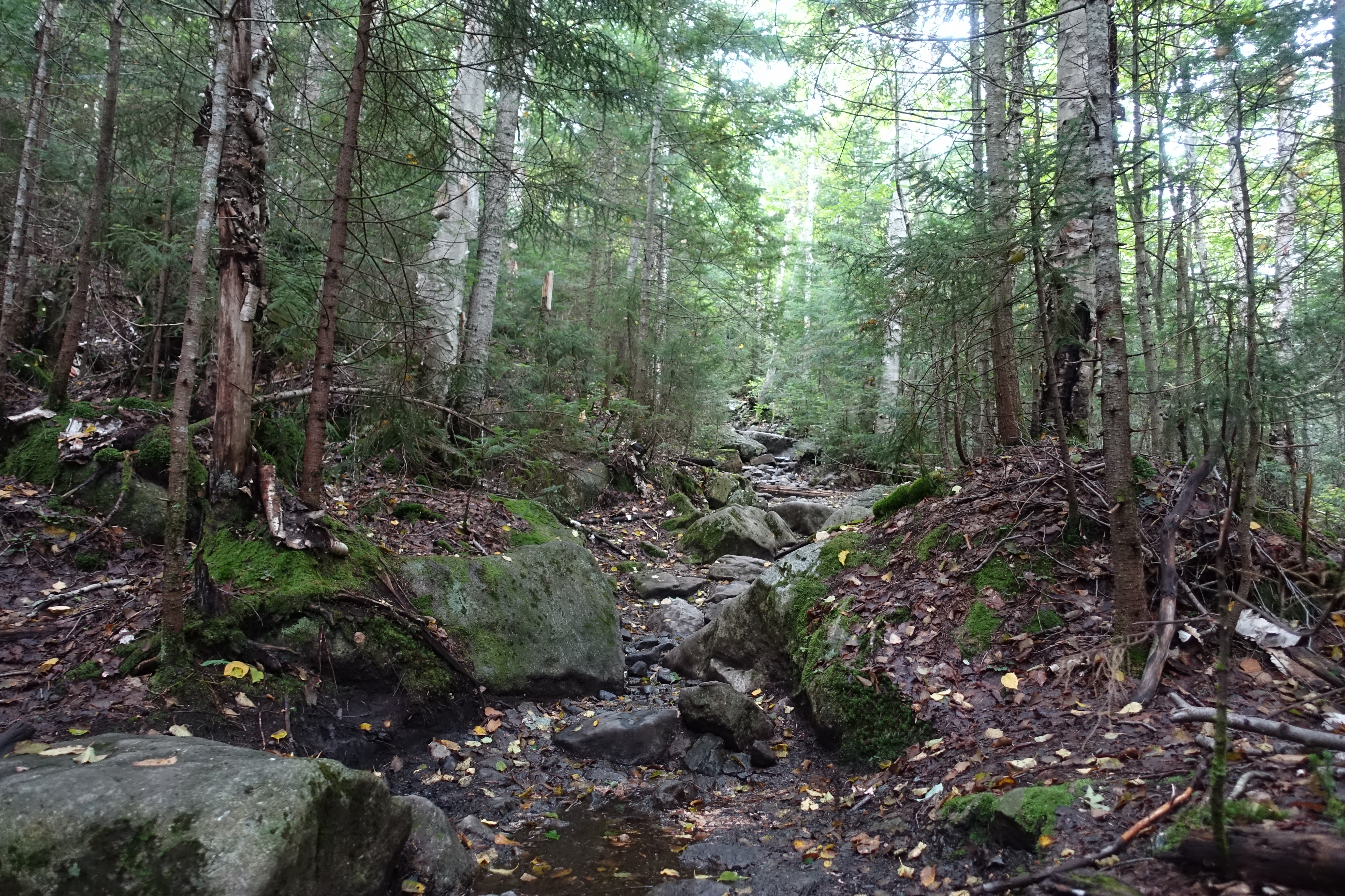
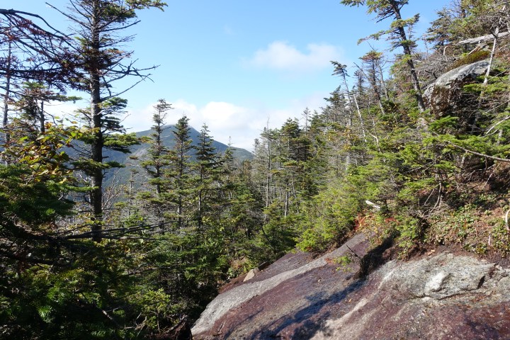
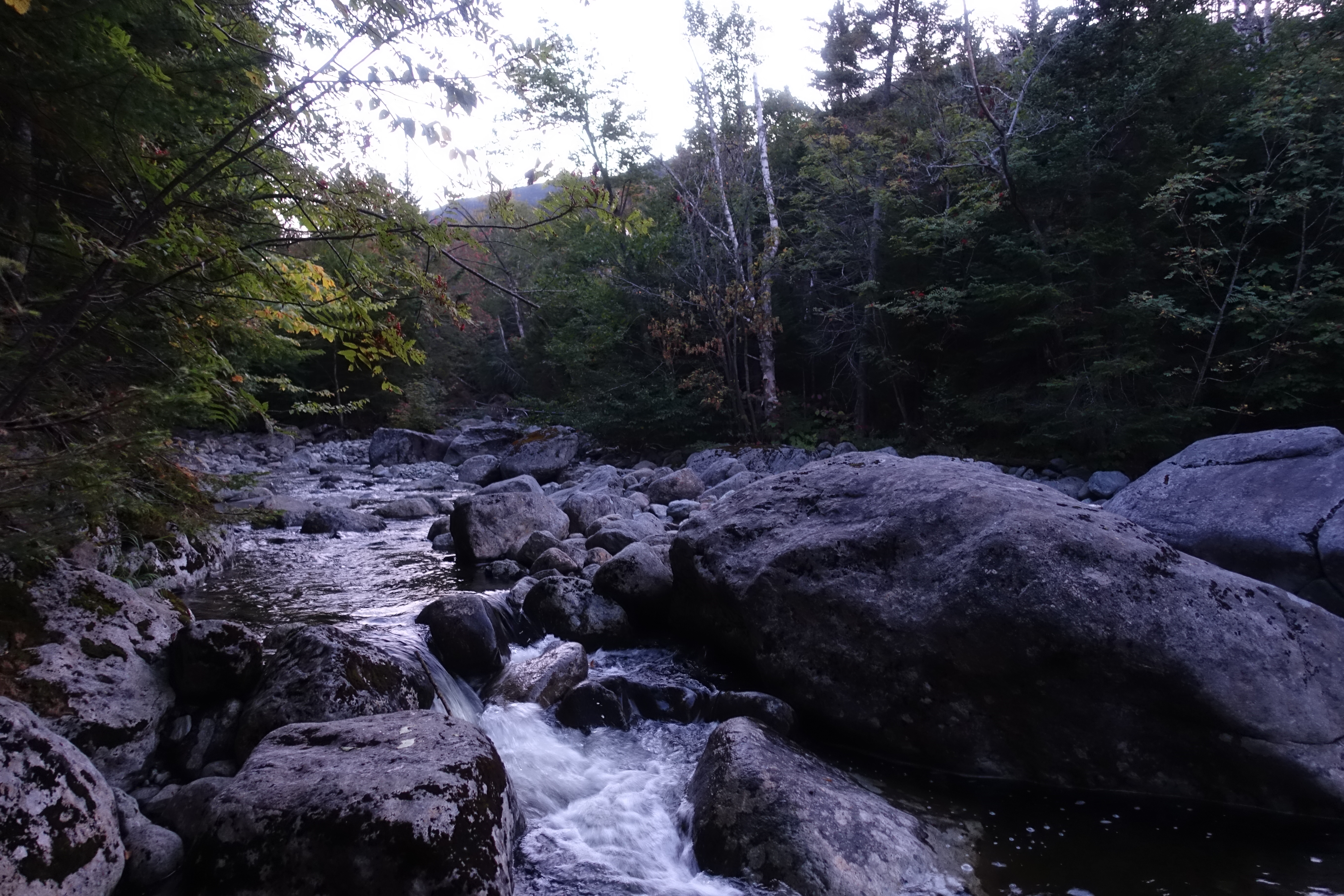
Marcy Dam to Avalanche Pass

After taking in some of the views at the Marcy Dam, you’ll cross over the new footbridge just downstream from the dam, and then come to this sign. From here, you’re going to take the yellow trail towards Avalanche Lake. Over This 2.2 mile stretch, you’ll net about 500 feet of elevation as you make your way through the Avalanche Pass to the head of Avalanche Lake. This section has rocky inclines and plenty of spots to stop and take a look out over the Marcy Brook that runs parallel to the trail.

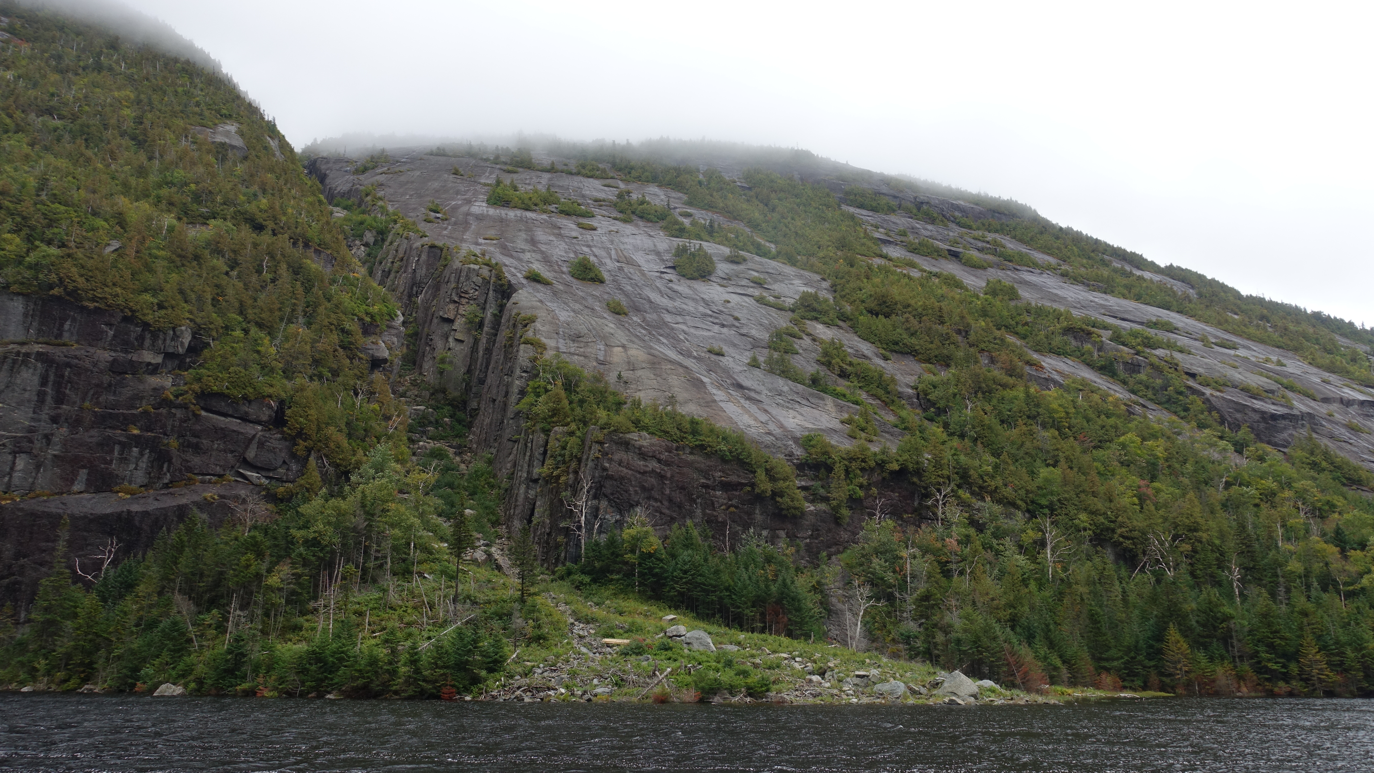
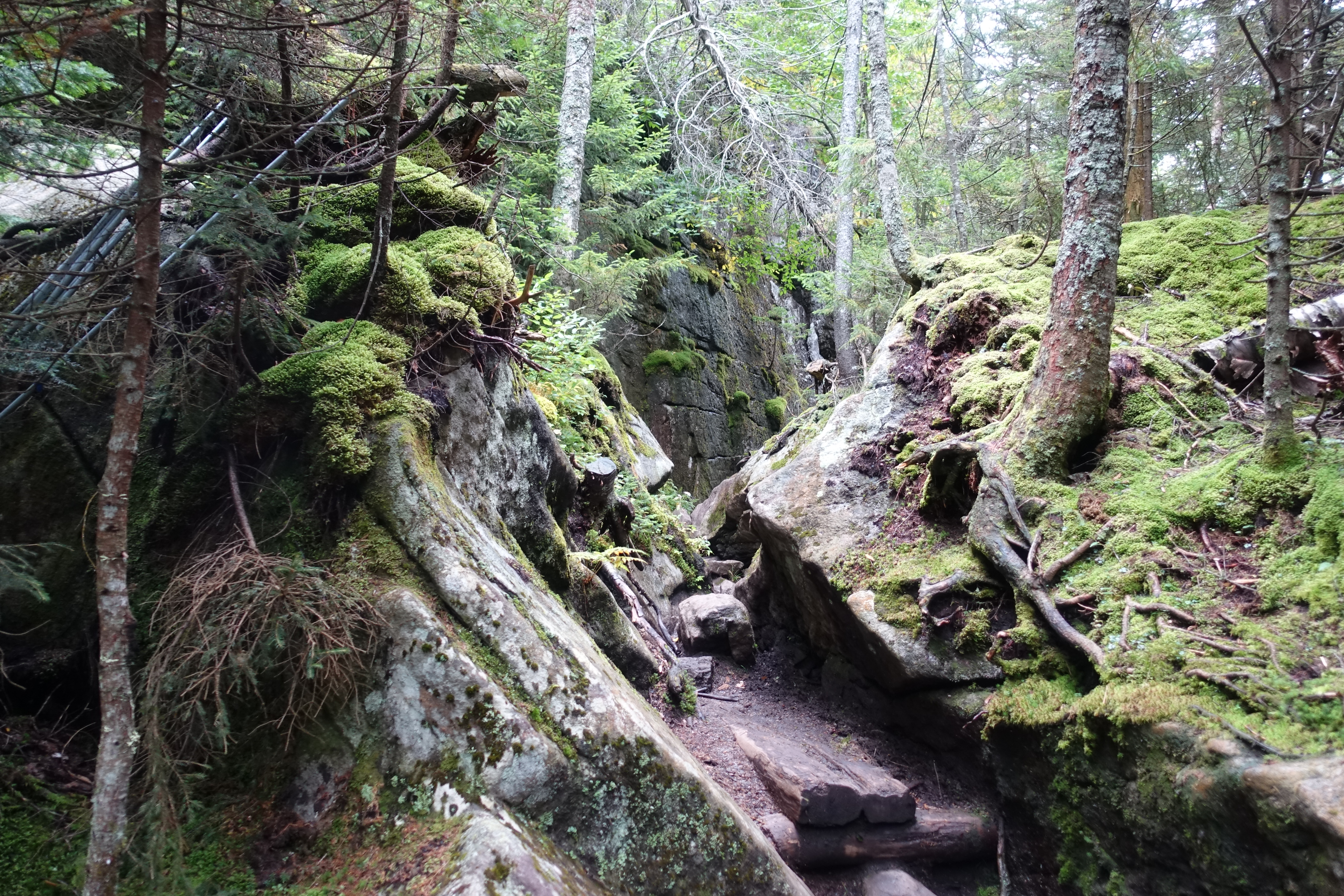
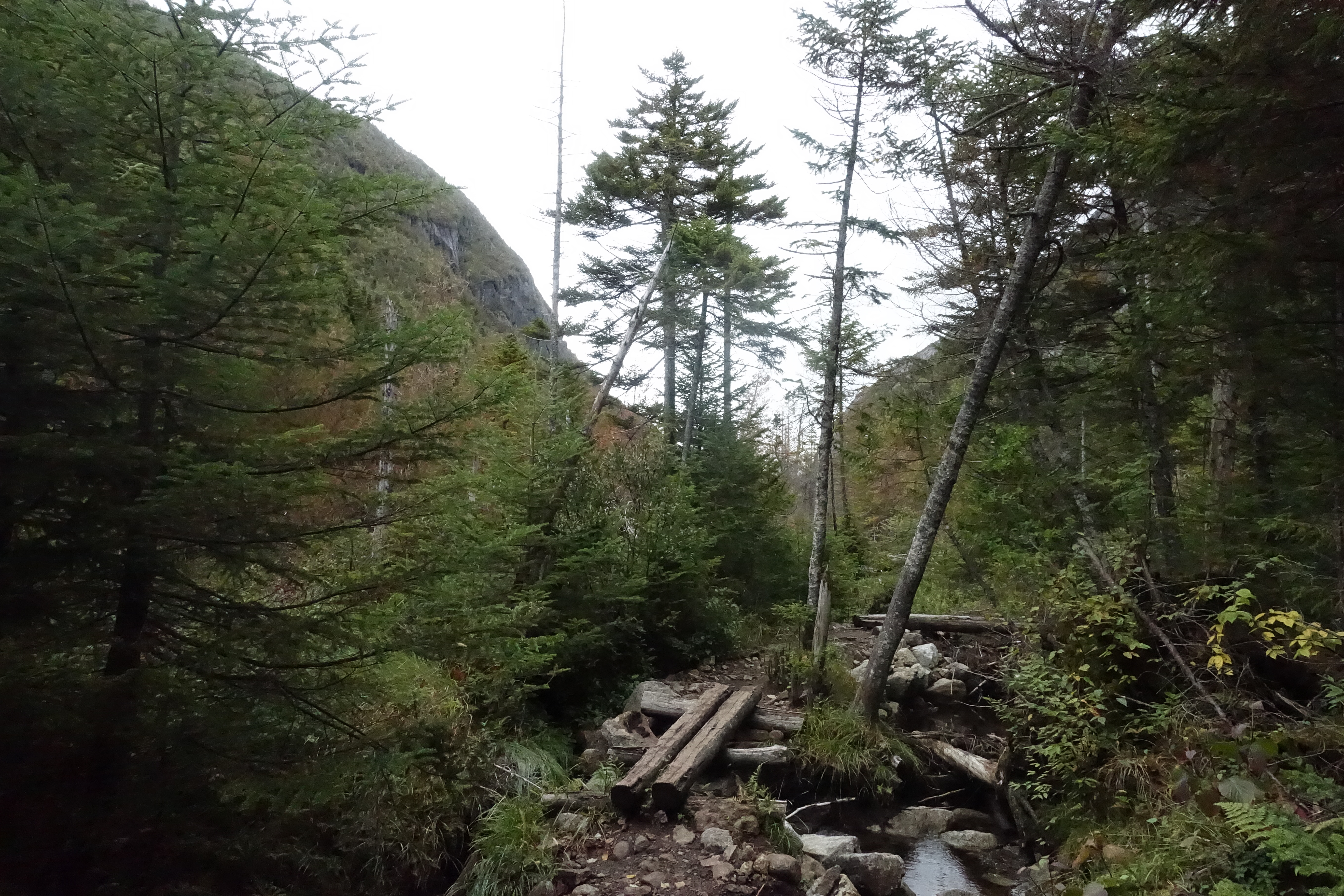
Avalanche Pass
You’ll definitely know when you are starting to get into the incredible debris fields and start to imagine the power of snow raging down into the ravine, bulldozing everything in its pth. Its some truly beautiful chaos. And just in case you weren’t sure of what you are walking through – there’s this sign to get the adrenaline pumping a bit.

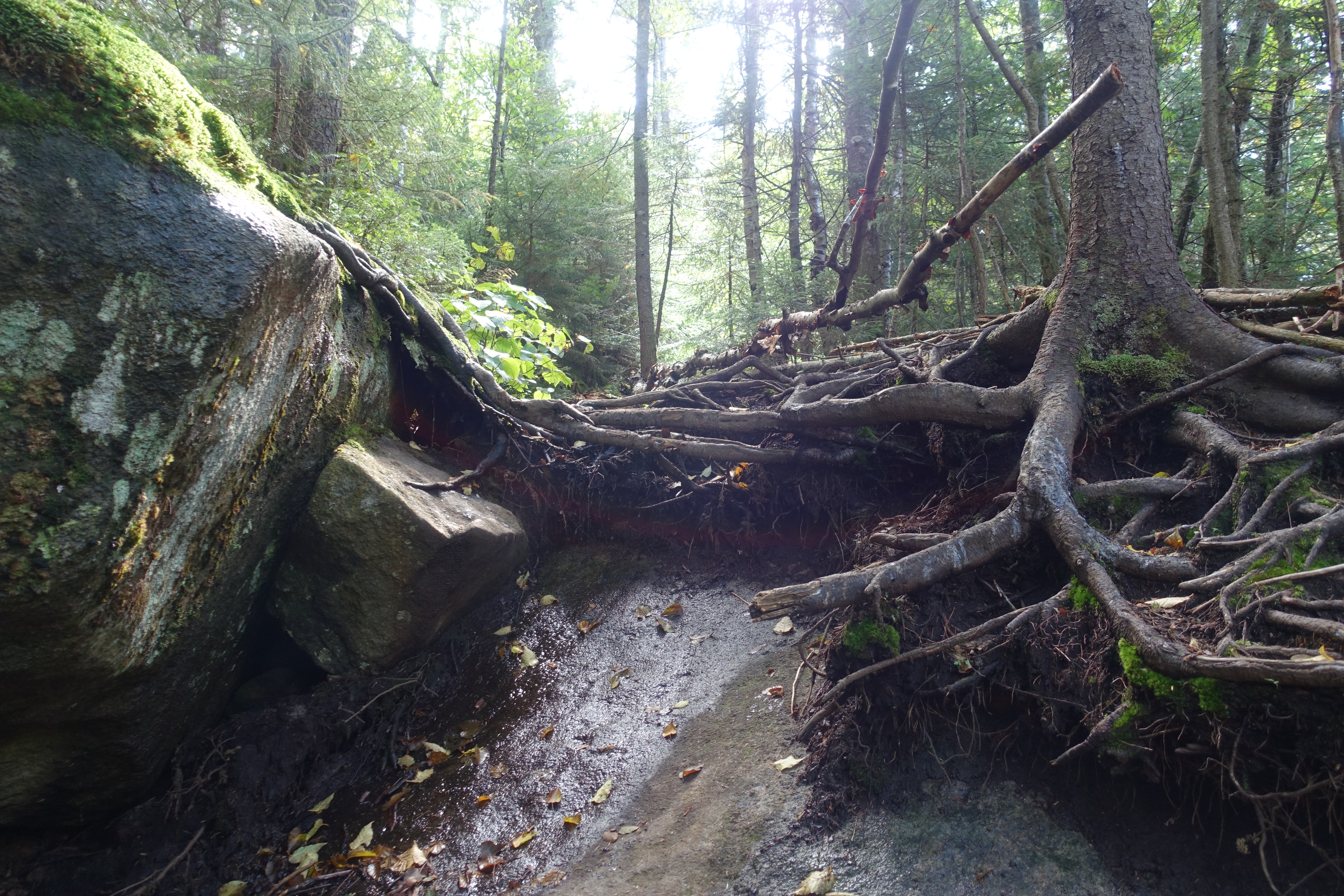
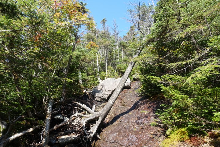
As you make your way through the narrow ravine flanked by steep walls of Colden’s base on your left and Avalanche Mountain’s on your right. It was difficult to get pictures that could do it justice – so you’ll just have to go and experience it for yourself. There’s some obstacles to go over, around or through, ranging from fallen trees, large boulders, and a labyrinth of tree roots.

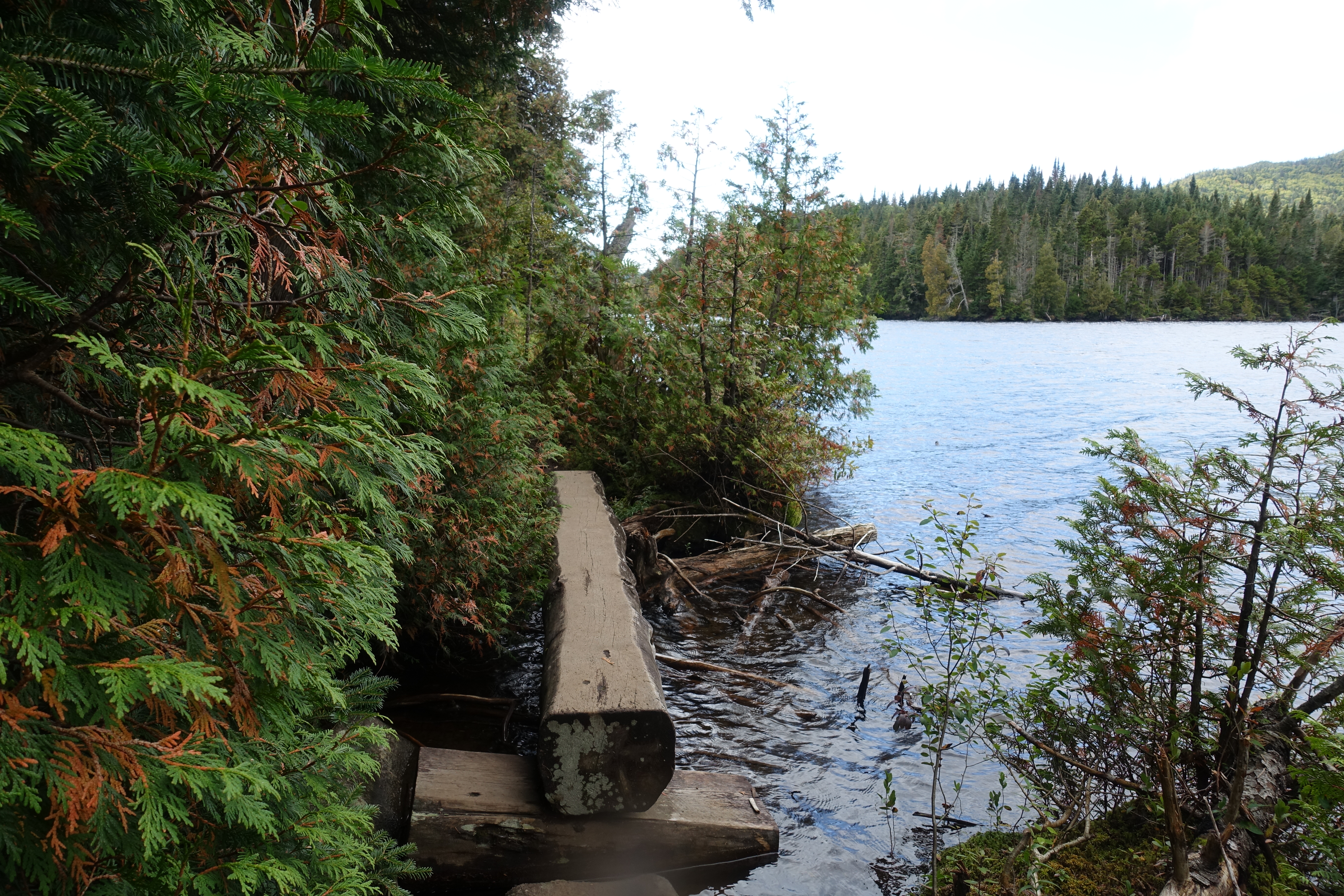
Avalanche Lake to Lake Colden
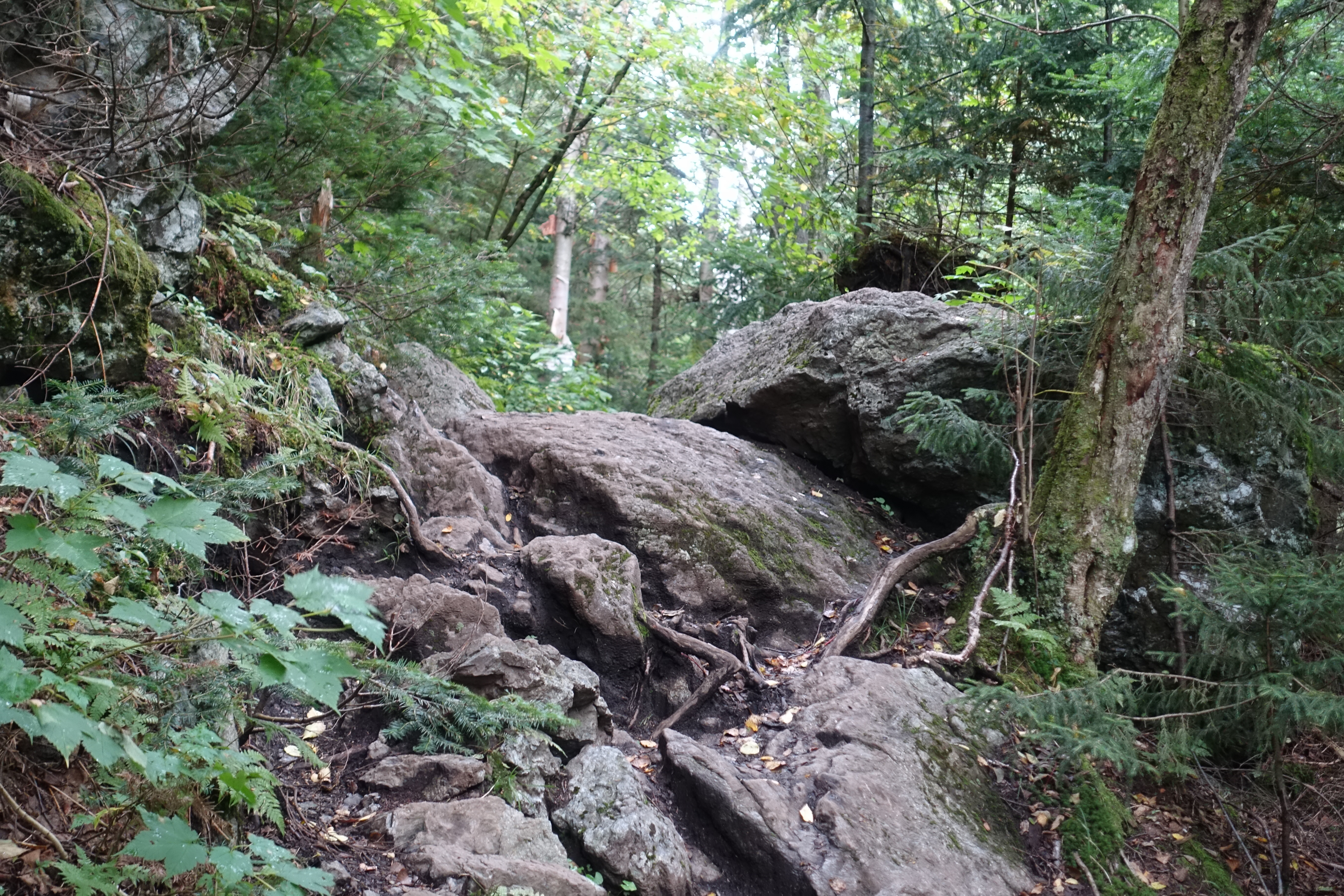
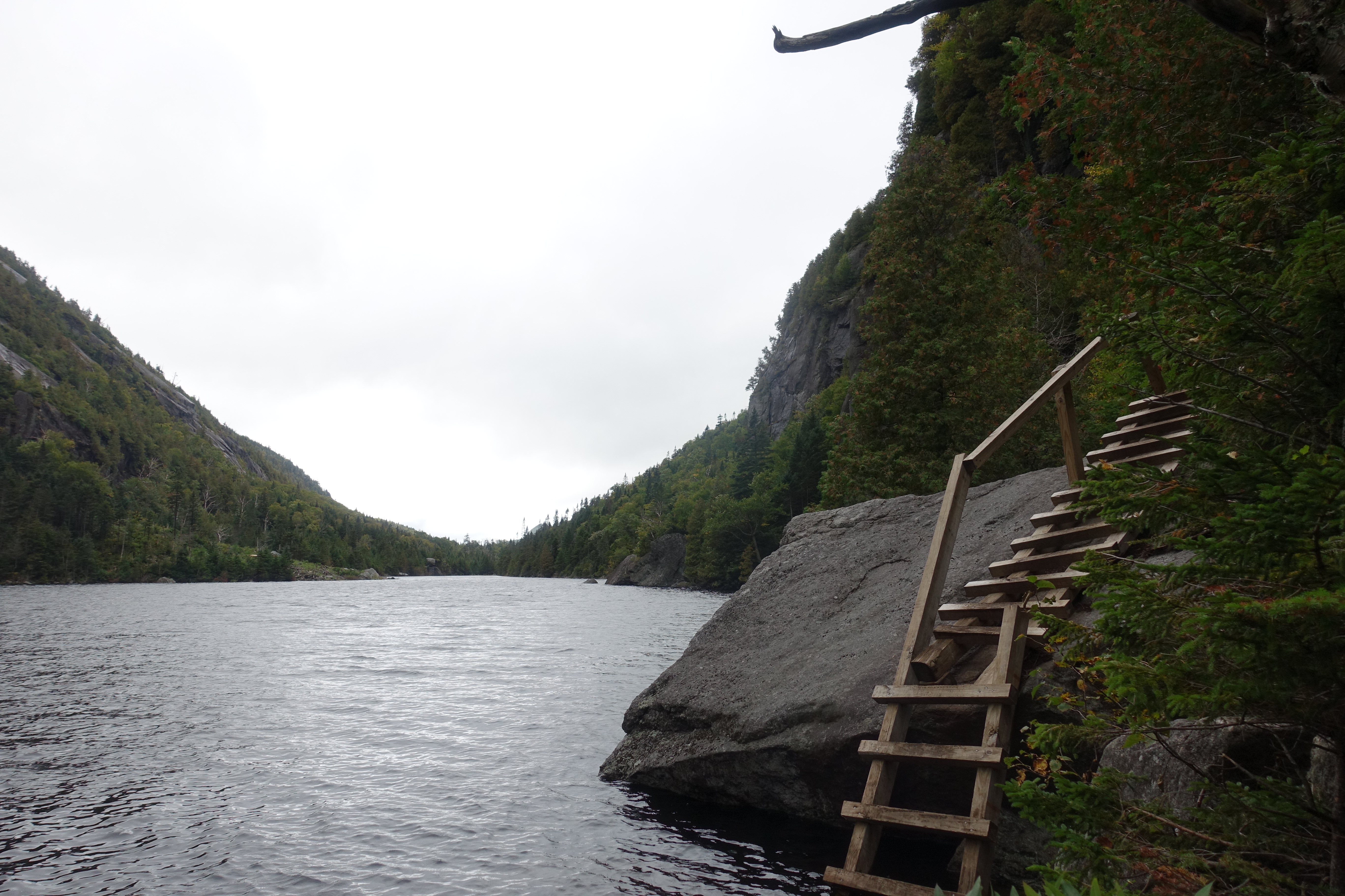
The trail that runs along Avalanche lake is about .6 miles, and while you won’t net any real elevation during this section – get prepared to be going up and down repeatedly. There are some sections that require pulling yourself up and over the tops of boulders – get ready to break a sweat.
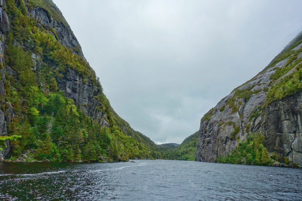

With my small camera, it was really difficult to capture the nearly vertical walls flanking the lake – its truly something to experience. What might be even cooler is the wooden trail built into the side of Avalanche Mountain. There are some sections where it can get a little sketchy depending on the water level. Watch your step!

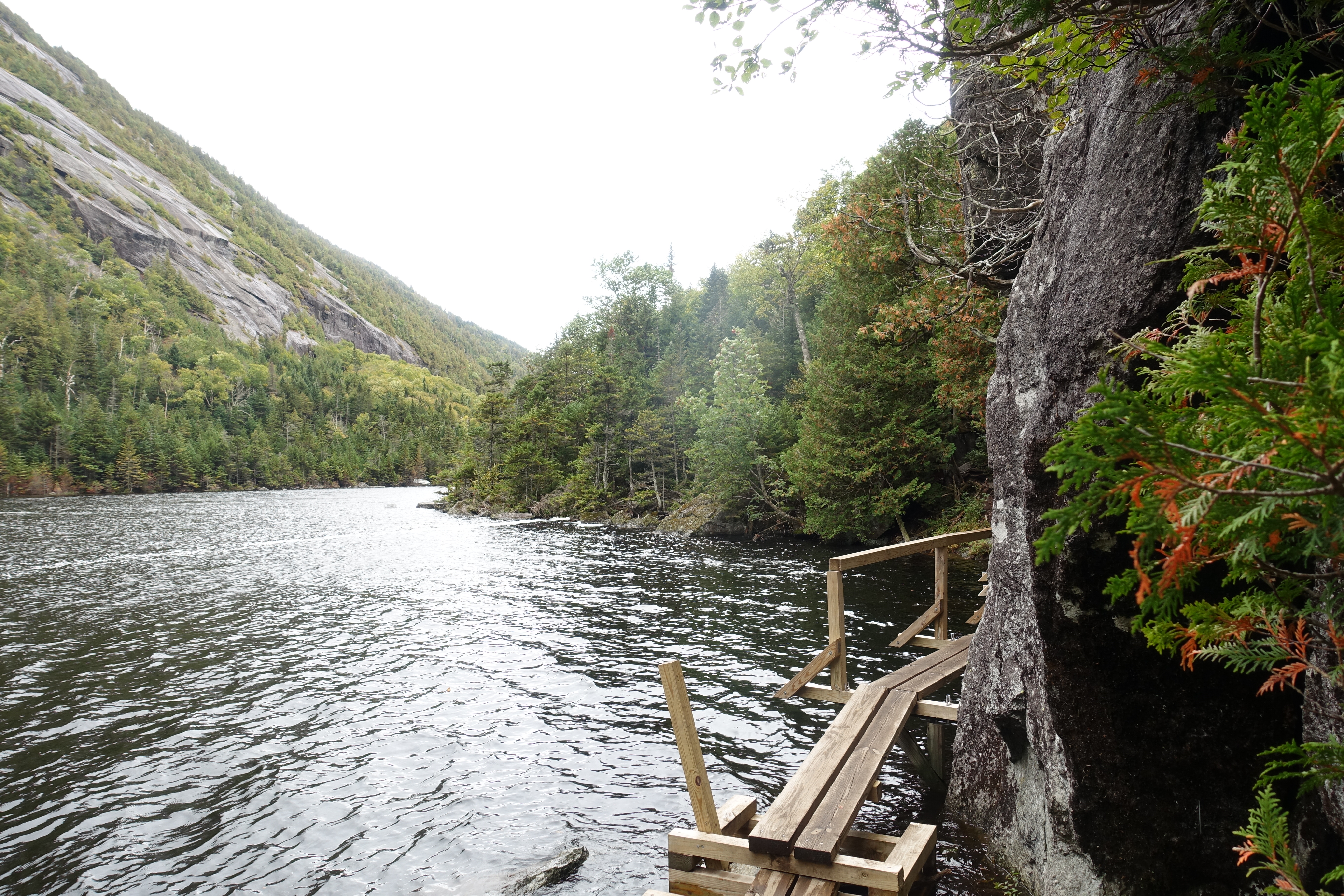

In addition to the parts of the trail that hug the lake, you do divert slightly away from the water at several points as well as when you get past the south end of the lake and continue down the Avalanche Pass Trail to Lake Colden.


Lake Colden – and overshooting the trail
After you finish Avalanche Pass and cross the short bridge over to the Colden side of the pass, you’ll head down Lake Colden. However, I missed the trail marker for the ascent to Colden, and inadvertently added 1.2 miles to my trip. It wasn’t a terrible delay and gave some additional nice views. Make sure to keep your eye out for the trail sign about a half mile down from the crossing.
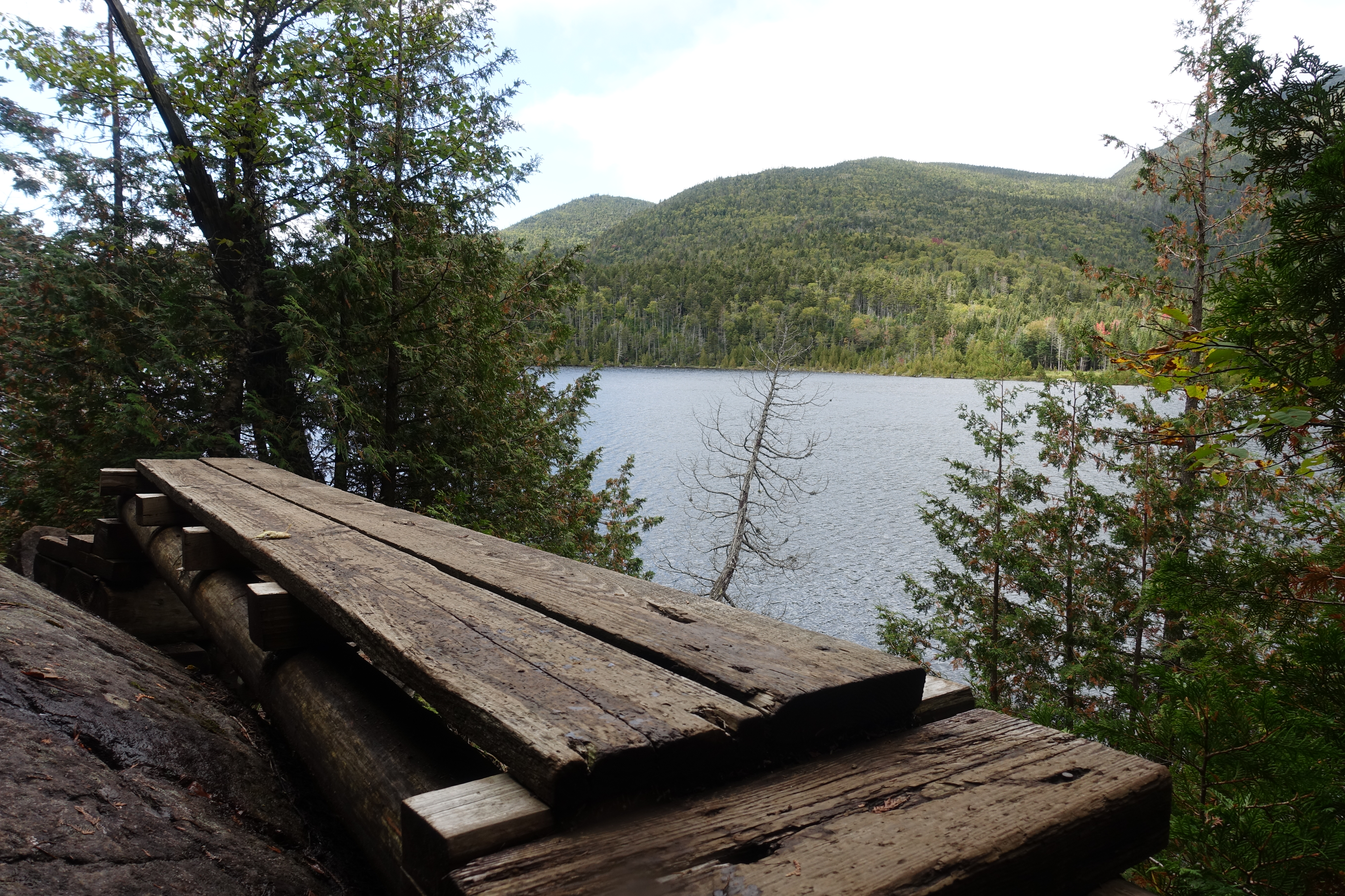
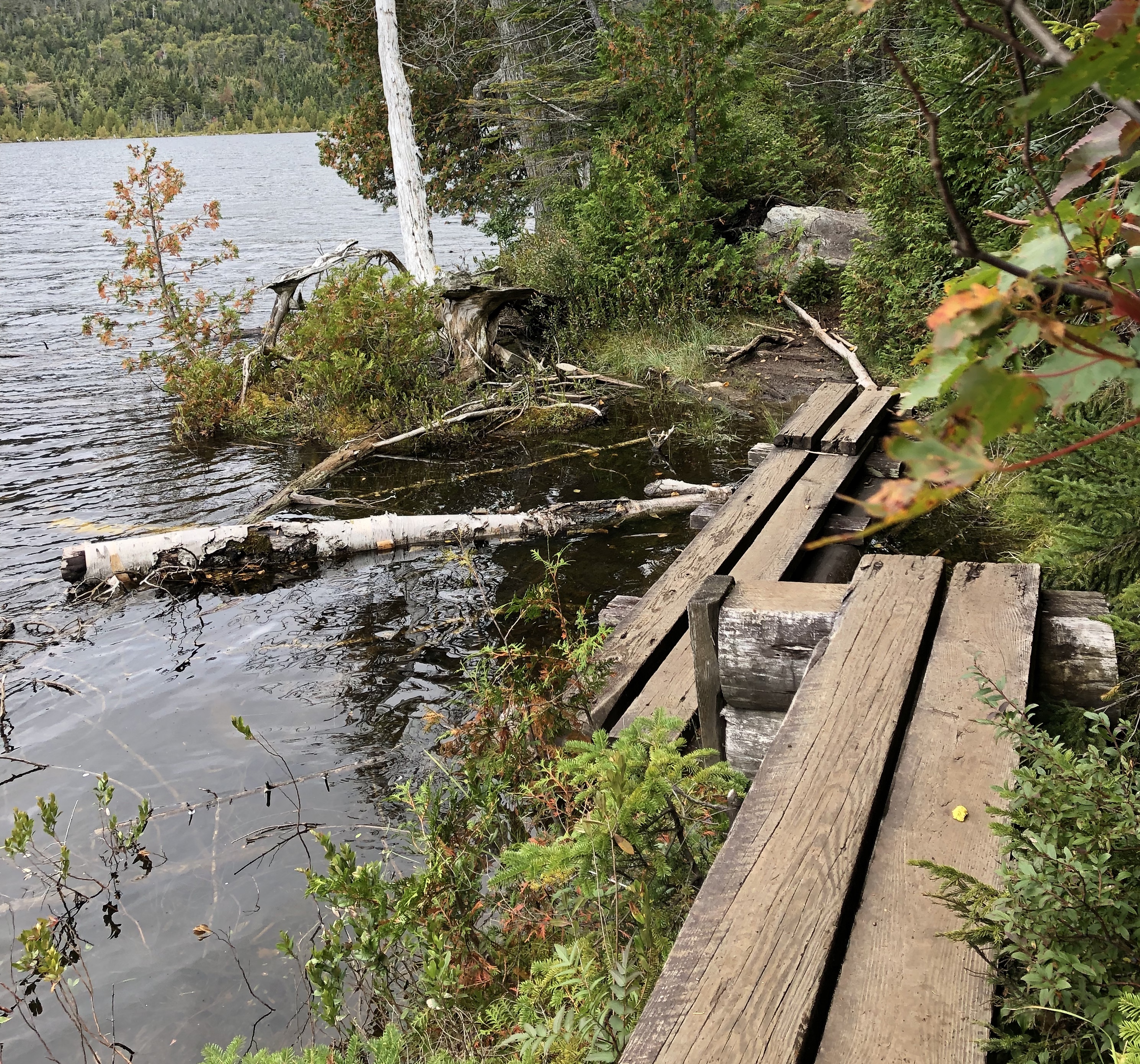
Lake Colden’s walkways and trails hugging the side of the lake were a little more challenging than the ones on Avalanche Lake. There was one section where I made a mistep and ended up about knee deep in water – luckily with my waterproof pants tucked in and waterproofed boots I was able to make it out before anything was soaked through.

After making it all the way to the dam at the end of Lake Colden before realizing my mistake and then backtracking, I was able to locate the marker for the ascent. Below shows the sign that I missed – its ever so slightly off the trail, with a tree leaning in front – with the letters facing away from me on my initial pass. So – keep your eyes peeled.

The Final Ascent to Mount Colden’s Summit
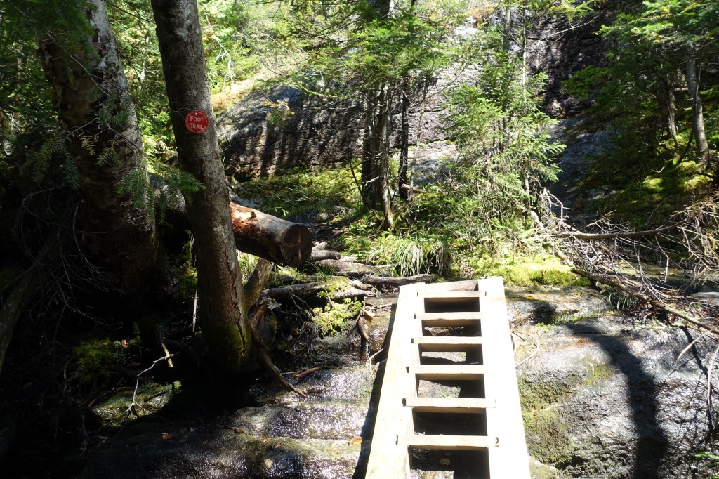
Gaining nearly 2,000 feet of elevation in just 1.6 miles, the trail to the summit is a challenging and strenuous one. As soon as you pass the marker above, you quickly begin to pickup elevation as the grade increases and doesn’t let up until you hit the summit. You’ll notice the color indicator is missing from the sign above, but you’ll be on the red trail from here to the summit. Beware it is not well marked and with some blowdown, you’ll need to pay attention to staying on trail.

As you transition from rocky inclines to slides and steeper scrambles, there are several ladders and sets of stairs to aid you getting up.However, there were still several sections with a pretty steep pitch and slick, wet rock. Tread carefully!


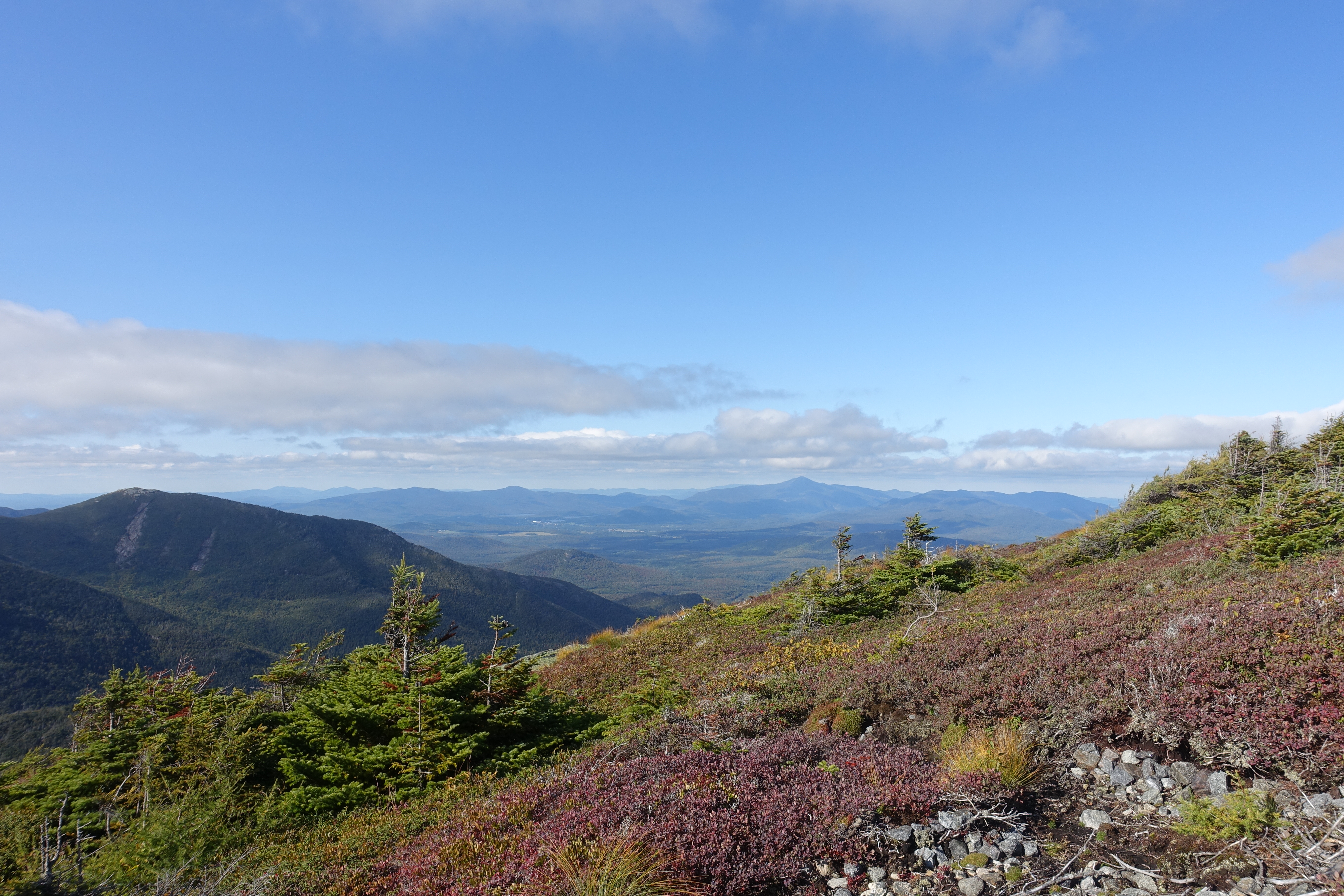
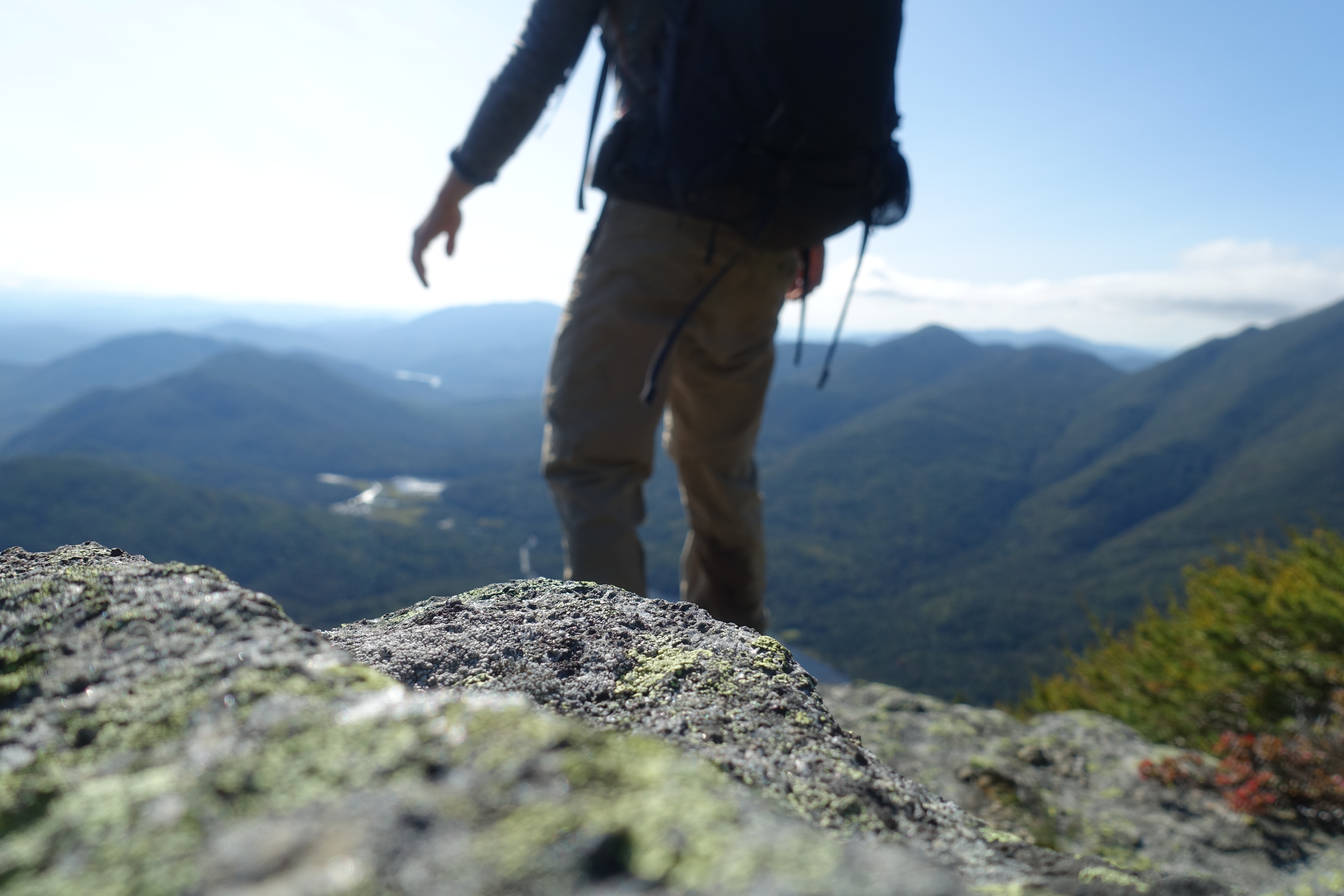
As you grind you way on through the scrambles, ladders, slides cliffs and get closer to the top you’ll be treated to the views of neighboring mountains and the valleys below. As you get close to the summit, you will also pass through sections of an Arctic Alpine Plant Zone – which has endangered plants that can very easily be trampled. These plants are the only life that can live in these zones – where winter winds can average 40mph+ and temperatures regularly below 0 for extended periods. Pay close to attention to make sure to stay on the bare rock of the trail.

The Summit
And finally – that brings us to Colden’s 4,715 foot summit which gives views out onto the MacIntyre Range, the Lower Ausable Lake as well as Mount Marcy. The trail continues along the summit and there are several different viewpoints and photo opportunities to take advantage of. At this point, its been just about 7 miles to get to the summit – but luckily the descent is a little bit easier than the ascent (in regards to terrain).


The Descent
Heading down from Mount Colden’s summit will take you southeast down Colden’s side, with a stop at ‘Little Colden’, a false summit a few hundred feet below. You’ll come across some more ladders and a few slides, and then mud as you make your way down to and around Lake Arnold.


Depending on rainfall lately, there are also sections of logs that cross over swampy areas – trekking poles can help a lot through these areas. There is also a waterfall along the trail, to my best recollection, just past Lake Arnold. But at this point, I was fighting fatigue, sore knees and a sun that was getting lower and lower.

And that wraps up the review of the hike up Mount Colden via Avalanche Pass. This was an incredible hike that lives up to its reputation for a challenge. If you’re considering an ascent but unsure if you’re ready, consider coming out for a guided hike in the Catskills to get some practice!
You’ll continue on and eventually link back up with the Marcy Dam trail, and then continue back out the last few miles, which luckily are mostly flat to get back to the parking lot.
