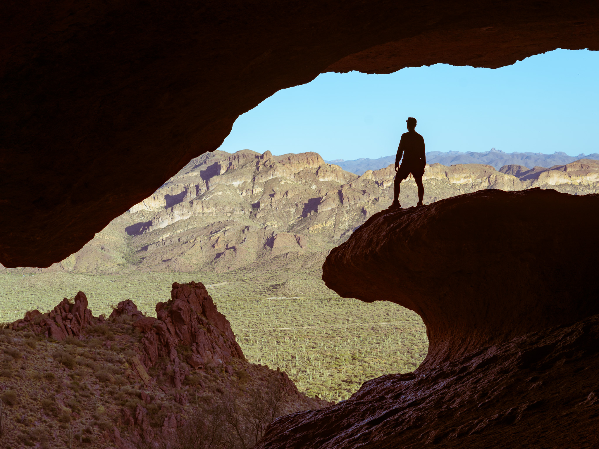
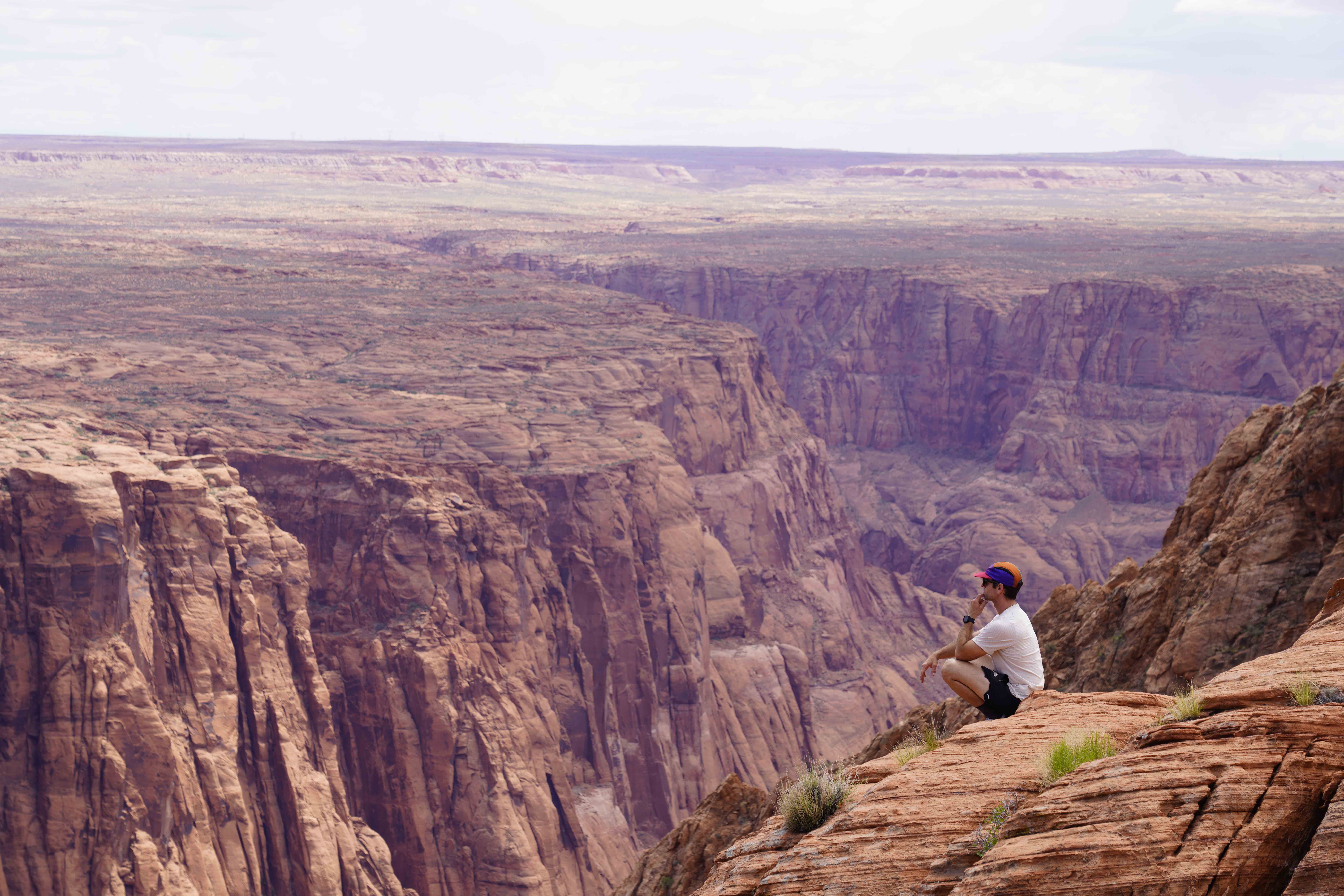
These 10 hikes will invigorate the soul, excite your inner photographer, and leave you with a sense of accomplishment and wonder during your trip to Arizona.
Humphrey’s Peak Trail
Location: just outside of Flagstaff, Arizona
Trailhead Directions: Humphrey’s Peak Trailhead (Google Maps)
Distance/Elevation Gain: 10.5 miles with 3,400 ft. of elevation gain to a summit of 12,637 feet
Difficulty Level: difficult for the typical day hiker (especially in winter conditions), easy/moderate for mountaineers. During an early May summit, we were in crampons for the majority of the hike, and route finding was challenging at times.
Lava River Cave

Location: Flagstaff, Arizona
Trailhead Directions: Google Maps
Distance/Elevation Gain: the cave goes 3/4 mile back from the entrance, and once you make the initial 20-ish foot scramble down the caves entrance, it is flat
Difficulty: Easy/Moderate due to some slick rock, loose stone and unstable footing
Fossil Springs
Location: Camp Verde, Arizona

Note: a permit is required for hiking the Fossil Springs trail, and reservations can fill up quickly on the weekends, and almost all days for the closer parking lots. Visit the Recreation.gov website to get your permit.
Trailhead Directions: Google Maps
Distance/Elevation Gain: depending on which parking lot you’re assigned on your reservation, your hike to the waterfall will range from about 2.5 to 9 miles. I was able to park in the Homestead lot, so my round trip was about 7 miles with 500 feet of elevation gain.
Difficulty: the trail was mostly packed rock with some loose gravel, and not a lot of shade – so try to go early if you know that it will be hot.
Ooh Aah Point, Grand Canyon
Location: Grand Canyon, South Rim

Trailhead Directions: South Kaibab Trailhead, Google Maps
Distance/Elevation Gain: 2 miles, 700 feet of elevation change
Difficulty: easy/moderate, depending on the time of year there may be snow/ice on the trail, or extreme heat. Some of the switchbacks are steep, but mostly smooth and packed down for the duration of the hike,
The Edge of the World and Jenga Rocks
Location: the destination itself is within Sedona limits, but you must take a road in through Flagstaff, Arizona

Trailhead Directions: Google Maps
Note: the trail to the Jenga rock tower is just a short scramble (and jump if you go all the way out) down from the parking area. The road in to this spot (aka the ‘Edge of the World’) is a 27 mile drive along an unpaved road.
Distance/Elevation Gain: 1/10th of a mile, 40-ish feet of elevation change
Difficulty: you can view the Jenga rock tower as well as the ledges from your car or the various campsites along the ledge. If you want to get down closer or on to the Jenga rock tower, it requires some scrambling and creative maneuvering, a jump over a 3.5 foot gap, and finally, a roped climb if you’re looking to get to the top if it.
Havasu Falls, Mooney Falls, Beaver Falls in Havasupai Reservation
Note: permits are required and can be DIFFICULT to get, as well as costly at $375 per person. If you do manage to get a permit, you will be assigned a random date that hopefully will work with your travel plans. However – if you do manage to get said permits, you’re in for the trip of a lifetime.
Location: Havasupai, Arizona, 3.5 hours north-west of Flagstaff on edge of Grand Canyon National Park and Colorado River

Trailhead Directions: Google Maps
Distance/Elevation Gain: the hike into camp and to the farthest waterfall (Beaver falls) is around 25 miles round trip, with 3,600 ft of elevation gain. The majority of the elevation loss/gain occurs during the first 2 miles of the trail as you descend into the canyon.
Difficulty: most of the difficulty (aside from the permitting process) comes from the nearly 11 mile hike into camp with all of your gear (including a bear canister for your food), as well as the heat of the canyon if you’re not doing the hike in/out under the cover of darkness (which we did thankfully).
The Wave Cave Trail
Location: Superior, Arizona

Trailhead Directions: Google Maps
Distance/Elevation Gain: 3 miles with 850 ft. of elevation gain
Difficulty
The Subway Cave Trail
Location: Sedona, Arizona

Trailhead Directions: park at the Boynton Vista Trailhead
Distance/Elevation Gain: 5,5 miles, 300 ft. of elevation gain
Difficulty: easy until the final scramble up into the cave, which is moderate
Spencer’s Lookout
Location: Lee’s Ferry, Arizona
Trailhead Directions: Google Maps
Distance/Elevation Gain: 5 miles / 1,700 ft. of elevation gain
Difficulty: Easy/moderate (pending how hot it is, as there is little shade). Trail is mostly switchbacks with some loose rock and occasional high knee steps and larger rocks to maneuver around.
East Verde River Hot Springs
Location: Childs Dispersed Camping, outside of Camp Verde, Arizona

Trailhead Directions: Google Maps
Note: it requires over 2 hours of driving on rough, unpaved road, followed by a very steep decline on loose rock. High clearance and at least All-wheel drive is strongly encouraged here. I was able to make it down in my short wheelbase Ram Promaster with BF Goodrich off-road tires, but I was nearly stuck on the way back out.
Distance/Elevation Gain: from the campsite, it’s a little over 1.5 miles round trip to the hot springs, with about 30 feet of elevation gain
Difficulty: the trail is easy and mostly along a gravel path, until you get to the stream crossing. It was about waist deep when we crossed, but use caution when crossing any body of water.


